

A newly published United Nations world map has placed India’s border regions under a contentious cartographic lens. Issued on July 1, 2026, the map delineates Arunachal Pradesh and Aksai Chin as territories flanked between separate Indian and Chinese claim lines, surfacing just days after New Delhi backed a broader UN initiative on cartographic standards.
Key Facts
- The UN world map, published July 1, 2026, shows Arunachal Pradesh bounded by a "Chinese Line" on its southern boundary with Assam and an "Indian Line" along Tibet.
- Aksai Chin’s eastern flank is marked as the "Indian Line", with a "Chinese line" serving as a boundary between Ladakh and Aksai Chin.
- The map follows the non-binding "Correct the map" resolution sponsored by Togo and endorsed by the African Union, which India voted for on September 4, 2026.
- India’s Ministry of External Affairs affirmed that voting for equal-area cartographic representation does not endorse specific territorial depictions.
Contested Boundaries and Omitted Lines
The revised map introduces several striking cartographic choices across India's sensitive northern frontier. For Arunachal Pradesh, it marks the state's southern boundary with Assam as the "Chinese Line" while completely erasing its border with Nagaland. The northern frontier bordering Tibet is labeled the "Indian Line."
A similar arrangement appears in the western sector. Aksai Chin, which India considers an integral part of the Union Territory of Ladakh, has its eastern periphery marked as the "Indian Line." Meanwhile, a separate "Chinese line" cuts between Ladakh and Aksai Chin, effectively presenting the high-altitude plateau as disputed ground between the two powers.
New Delhi’s Position on Sovereign Integrity
While the map itself is non-binding, it carries weight because multilateral bodies and international agencies rely heavily on UN cartography. The Ministry of External Affairs clarified on September 6, 2026, that India supported the Togo-sponsored "Correct the Map" resolution purely to promote equal-area cartographic representations, rather than to ratify particular boundary sketches.
"India’s sovereign territory, including the Union Territories of Jammu and Kashmir and Ladakh, must be depicted in accordance with India’s official map. Any inaccurate or misleading depiction is unacceptable."
— Randhir Jaiswal, Official Spokesperson, Ministry of External Affairs
Contrast with LoC and Kalapani Depictions
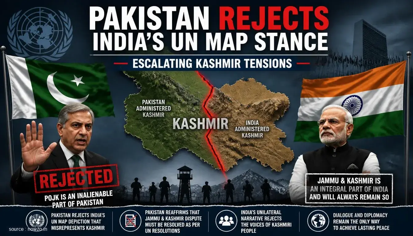
Unlike the lines across Arunachal and Aksai Chin, the Line of Control between India and Pakistan in Jammu and Kashmir includes an explanatory side note. The text clarifies that the dotted mark represents the approximate Line of Control agreed by both nations and notes that Jammu and Kashmir's final status remains unsettled. No matching explanatory footnote was attached to justify the dual claim lines drawn over Arunachal Pradesh or Aksai Chin.
In contrast to the friction along the Sino-Indian boundary, the UN document reflects Indian administrative control over the Kalapani-Lipulekh-Limpiyadhura sector, an area claimed by Nepal. While Kathmandu has previously voiced objections over the Lipulekh transit route to Kailash Manasarovar, it has yet to issue a response to the latest UN release.




Comments