
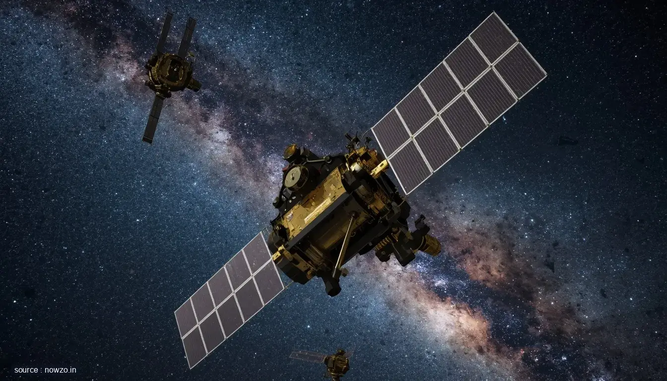
High above the Earth, a quiet revolution is unfolding. Satellites operated by BRICS nations—Brazil, Russia, India, China, and South Africa—are now scanning the planet’s surface, gathering crucial data to combat environmental degradation. From tracking illegal deforestation to monitoring air and water quality, these eyes in the sky are providing an unprecedented view of our changing world.
Key facts
- BRICS member countries are using satellites for environmental monitoring.
- Applications include deforestation tracking, pollution control, and disaster management.
- Collaborative data sharing enhances global environmental protection efforts.
A Unified Front from Orbit
It’s not just about national borders anymore. BRICS satellites work beyond politics, capturing cross-border environmental issues that affect us all. Deforestation in the Amazon, industrial pollution over Asia, melting glaciers—these shared challenges demand shared solutions, and space technology is delivering them.
How Satellites Are Making a Difference
With high-resolution imagery and real-time data, these satellites identify illegal logging activities, trace pollutant sources, and even predict natural disasters. Farmers receive early warnings about droughts; coastal communities learn of incoming storms. The technology turns abstract environmental concerns into actionable intelligence.
The Bigger Picture
This isn’t just a technical achievement—it’s a statement. BRICS, often seen as an economic bloc, is demonstrating that cooperation can extend to safeguarding the planet. In an era of climate anxiety, their orbital alliance offers a glimmer of hope, proving that when humanity looks down together from space, we see one home worth protecting.




Comments